Call: 1-800-832-7191
WSIA Waterway Access Tools
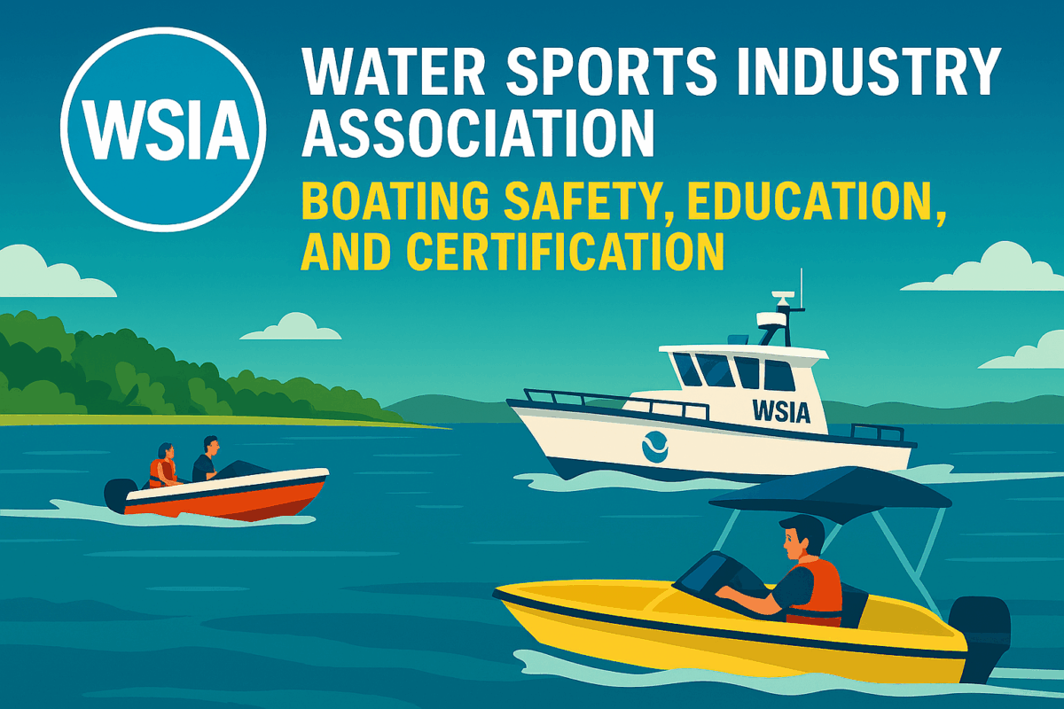
WSIA Waterway Access Tools: Expanding Safe and Sustainable Waterway Use
WSIA Waterway Access Tools help communities, boaters, and policymakers improve access to lakes, rivers, and coastal areas. These tools support safe navigation, environmental protection, and recreational planning. By using WSIA’s resources, users can identify access points, evaluate conditions, and promote responsible waterway use.
How this Support Boaters
Boaters benefit from clear, updated information about ramps, docks, and launch sites. These tools provide maps, safety alerts, and facility details. These features help users plan trips, avoid hazards, and comply with local regulations. With better access, boating becomes safer and more enjoyable for everyone.
Planning with WSIA Waterway Access Tools
Local governments and organizations use these tools to guide infrastructure development. These tools support decisions about maintenance, signage, and public access improvements. By analyzing usage patterns and environmental impact, planners can create sustainable solutions that serve both recreational and conservation goals.
WSIA Waterway Access Tools Promote Stewardship
Responsible waterway access depends on education and awareness, plus guidelines for protecting habitats. They help in reducing pollution, and respecting wildlife zones. These resources encourage users to follow best practices and contribute to long-term waterway health. Everyone benefits when access and stewardship go hand in hand.
Collaborate with Agencies and Stakeholders
WSIA works with federal, state, and local agencies to expand access and improve safety. Partnerships with groups like NOAA’s Office of Coastal Management enhance data accuracy and resource availability. These collaborations ensure that the initiative reflects current conditions and meet diverse user needs.
WSIA Waterway Access Tools Empower Communities
Community leaders also use W.A.T. to identify underserved areas and improve public access. These tools support inclusive planning and equitable recreation. By analyzing data and user feedback, municipalities can prioritize upgrades and ensure safe, accessible entry points for all residents.
In addition, WSIA encourages collaboration with conservation groups and educational institutions. These partnerships help integrate access planning with environmental education and stewardship. Agencies like CT DEEP’s Boating Division offer complementary resources that align with WSIA’s mission. Together, these efforts promote responsible waterway use and long-term sustainability.