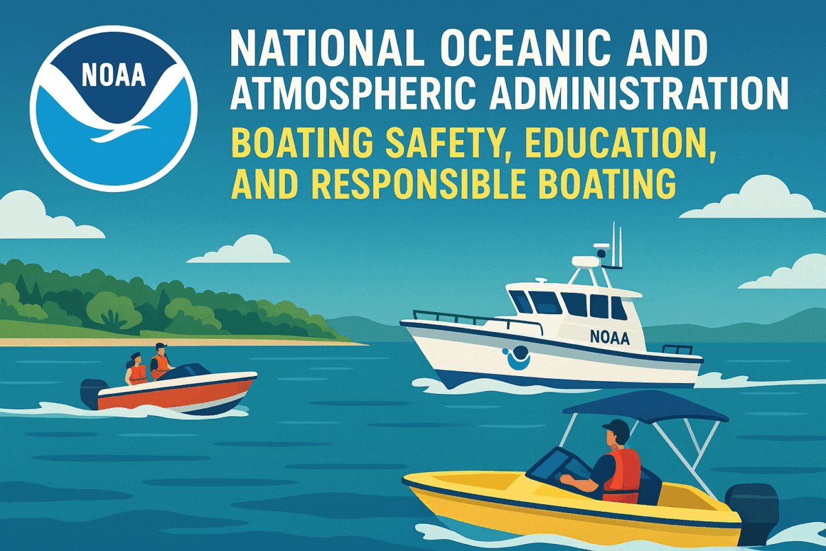
A NOAA patrol vessel monitoring coastal waters, promoting boating safety, education, and certification for responsible and smart boating practices. NOAA Long Island Sound Nautical Charts Overview The NOAA Long Island Sound Nautical Charts image displays detailed electronic chart data for safe navigation across coastal waters. Chart features include depth contours, shoreline details, and aids to navigation. Because accuracy matters, these charts support both recreational and commercial mariners. Navigational Safety Mariners in the image use NOAA ENCs to avoid hazards and plan efficient routes. Real-time positioning enhances safety. As a result, grounding risks decrease. Charting Technology The image highlights NOAA’s shift from paper charts to digital formats. Therefore, users benefit from weekly updates and customizable layouts. Using NOAA Long Island Sound Nautical Charts Understanding NOAA Long Island Sound Nautical Charts helps boaters navigate confidently. Learn more at NOAA Marine Navigation NOAA Chart Number One Overview The NOAA Chart Number One image displays a reference guide showing nautical chart symbols, abbreviations, and terms. It includes side-by-side comparisons of paper and electronic chart symbology. Because clarity matters, this chart helps mariners interpret navigation data accurately. Symbol Reference in Action Mariners in the image use NOAA Chart Number One to identify buoys, depth contours, and restricted areas. As a result, navigation becomes safer. Educational Utility The image highlights how students and instructors use the chart for training. Therefore, it supports both recreational and professional learning environments. Why NOAA Chart Number One Matters Understanding NOAA Chart Number One improves chart reading skills. Learn more at NOAA Chart No. 1. NOAA’s Interactive Global Charts Overview The NOAA’s Interactive Global Charts image displays a digital world map with layered nautical data and real-time satellite overlays. Users can zoom, pan, and select regions to access detailed chart information. Because accuracy matters, the system supports safe navigation and environmental monitoring. Real-Time Data Access Mariners in the image use NOAA’s Interactive Global Charts to view updated ENC data, weather overlays, and oceanographic conditions. As a result, voyage planning improves. Charting Innovation The image highlights NOAA’s shift to digital navigation tools. Therefore, users benefit from weekly updates and customizable chart formats. Why NOAA’s Interactive Global Charts Matter Understanding NOAA’s Interactive Global Charts enhances safety and efficiency. Learn more at NOAA Interactive Catalog. NOAA Coast Pilot Overview The NOAA Coast Pilot image shows a mariner referencing a printed volume alongside electronic charts on a navigation console. The book includes channel descriptions, tide data, and federal regulations. Because accuracy matters, the Coast Pilot supplements nautical charts with critical details. Navigational Support Mariners in the image use the NOAA Coast Pilot to verify bridge clearances and anchorage locations. As a result, voyage planning improves. Historical Significance The image highlights the Coast Pilot’s 200-year legacy. Therefore, it remains a trusted resource for coastal navigation. Why NOAA Coast Pilot Matters Understanding the NOAA Coast Pilot enhances safety and compliance. Learn more at NOAA Coast Pilot. NOAA Homepage Overview The NOAA Homepage image displays a vibrant dashboard featuring weather, climate, ocean, satellite, and fisheries data. Navigation menus highlight NOAA’s mission areas. Because accessibility matters, the homepage offers quick links to forecasts, research, and educational resources. Interactive Features Users in the image explore the NOAA Homepage to access flood mapping tools, hurricane updates, and marine charting services. As a result, decision-making improves. Public Engagement The image shows students, scientists, and boaters using NOAA’s site for learning and planning. Therefore, it supports diverse communities nationwide. Why the NOAA Homepage Matters Understanding the NOAA Homepage helps users stay informed. Visit NOAA.gov for more subjects like NOAA Weather Radio, NOAA Education, BLA Organizations, NOAA 8 Boating Safety Tips, NOAA Be Kind to Nature, NOAA Coast Pilot Books, NOAA Electronic Navigational Charts, NWS Video Library, Climate Data Online, Do We Need Lighthouses, NOAA Blue IQ, Ocean to Atmosphere, Women of NOAA, NOAA Sanctuaries, The Best Weather Website, NOAA Marine Debris Program, NOAA Interactive Maps, ADVs, NOAA's Explainers, NOAA’s SWFO-L1 observatory, NOAA's Wildest Missions, NOAA's Climate Q&A, NOAA Sail Drones, NOAA Planes Inside Hurricanes, NOAA Charting Geodetic Framework, NOAA Deep Ocean Mapping, NOAA NEON Stratus Project, NOAA and Citizen Science, NOAA Animals of the Ice, NOAA Rainforests of the Sea, NOAA AI Driven Models, NOAA Weather Safety, NOAA Origins, NOAA Marine & Aviation, NOAA and Sofar Ocean, NOAA and Ocean Today, NOAA and the NWS, NOAA Ocean Circulations, NOAA Budget Estimates 2026, NOAA Whale Week, NOAA Marine Debris Partnership, NOAA Earth Month 2026, NOAA Sea Turtle's Survival, NOAA Fishing Future Uncertain, NOAA Wetlands Restoration, Marine Debris Technicians, NOAA Whale Tagging, NOAA Trap Removal Program, NOAA 20 Years Marine Debris, NOAA Whale Tagging, NOAA Aircraft Operations Center, NOAA Saving Our Sharks, NOAA Derelict Trap Removal, Right Whale Strikes,

NOAA Right Whale Strikes

In by admin

Understanding NOAA Right Whale Strikes

NOAA Right Whale Strikes serves as a useful topic for discussing awareness within the boating community. While individual situations may vary, boaters benefit from considering how vessel operations affect the surrounding environment. As a result, many educational discussions focus on observation, preparation, and decision-making. Furthermore, responsible boating often begins with understanding the broader context of navigation and wildlife awareness. When operators remain attentive, they create safer experiences for everyone on the water.

Building Awareness Through Observation

Careful observation supports better choices during every boating trip. In addition, boaters who scan their surroundings regularly stay more informed about changing conditions. Many educational programs encourage operators to watch for visual cues and adjust their actions when necessary. Consequently, awareness becomes a practical skill rather than a simple concept. Thoughtful observation also helps boaters strengthen confidence while navigating diverse waterways.

Why NOAA Right Whale Strikes Matter in Educational Discussions

Educational conversations often use NOAA Right Whale Strikes as an example of why awareness remains important on the water. Rather than focusing on isolated events, instructors frequently emphasize habits that encourage responsible navigation. Meanwhile, participants learn how patience and attentiveness support safer outcomes. By practicing consistent observation, operators improve their ability to respond effectively to changing circumstances. Therefore, boating education often highlights preparation as a key component of responsible operation.

Communication and NOAA Right Whale Strikes

Effective communication plays a valuable role in boating activities. For example, clear communication among crew members reduces confusion and promotes teamwork. Additionally, sharing observations allows everyone onboard to remain informed about nearby conditions. When discussing NOAA Right Whale Strikes, training materials often stress the importance of exchanging information promptly and clearly. As a result, boaters develop stronger situational awareness and better decision-making habits during their journeys.

Applying Lessons from Animal Migrations

Practical lessons become more meaningful when boaters apply them during routine outings. Moreover, consistent practice helps reinforce positive habits over time. Operators who prepare carefully often feel more comfortable when conditions change unexpectedly. Likewise, thoughtful planning supports smoother navigation and increased confidence. NOAA Right Whale Strikes discussions frequently encourage boaters to combine awareness, observation, and preparation into a single approach. Consequently, these concepts work together to support responsible boating behavior.

Every boating experience provides an opportunity to learn and improve. At the same time, education helps transform good intentions into effective actions. Whether someone operates a small vessel or a larger craft, awareness remains an important part of safe navigation. Furthermore, continued learning strengthens confidence and promotes responsible choices. The topic of NOAA Right Whale Strikes offers a useful framework for discussing observation, planning, communication, and attentiveness in a general boating context.

Boaters often benefit from reviewing important concepts before each outing. For this reason, many training programs encourage regular refreshers and ongoing education. In contrast, relying solely on past experience may leave valuable knowledge unused. Continuous learning helps operators adapt to new situations while maintaining strong boating habits. Ultimately, preparation and awareness support a more informed and enjoyable experience on the water for all participants.

Discover all our site has to offer:

Connecticut Boating Certificates Upcoming Courses

Testimonials Archive – Connecticut Boating Certificates LLC

Connecticut Boating Certificates LLC Boaters Blog

The Helm for all boaters CT DEEP, NASBLA, NOAA, USCG, WSIA

Connecticut Safe Boating Class FAQs

Contact Us at Connecticut Boating Certificates LLC